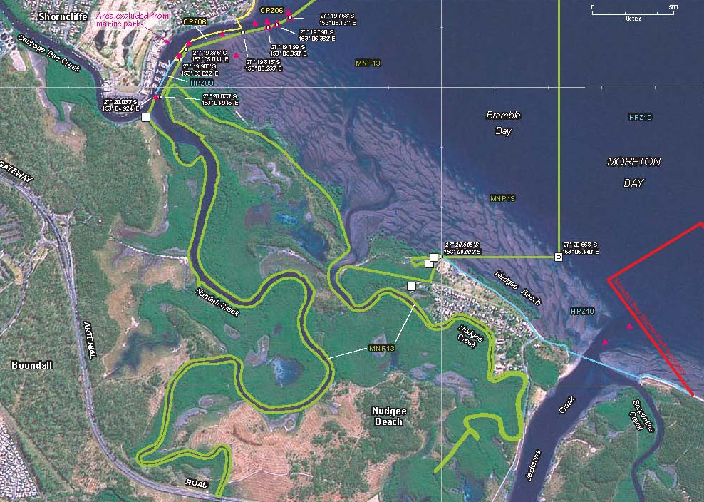
Nudgee Beach is an easily accessible fishing area located just west of Brisbane Airport.
The main feature is Schulz Canal (also known as Jacksons Creek and Kedron Brook Floodway) which flows into Brisbane’s Moreton Bay at Nudgee.
The entrance to Schulz Canal runs through muddy sandflat at Nudgee Beach.
The canal leads upstream through Toombul and becomes Kedron Brook.
Much of the waterway is served by a biking/walking path.
There are many spots suitable for landbased fishing.
The best fish are caught in the lower section near the mouth.
The canal’s mouth is flanked by small tidal creeks to the east and west.
This region is great for sand whiting, with easy access along the western shore from the Nudgee Beach road.
At low tide the area out the front of the canal where wave action meets the channel and flats edges is the best spot for whiting, and at high tide they can be caught on the flats, off the beaches and along the canal edges.
The stage of the tide will decide where you fish.
Use fresh worms or small pieces of frozen prawn for whiting.
flathead are found along the canal edges, with livebait and lures working well.
Other species include bream, catfish, pikey eels and stingrays.
Jewfish and threadfin salmon are a chance.
There are prawns in season, and occasional mud crabs.
Whiting are best in summer and bream in winter.
There is a boat ramp on the west bank with a large parking area.
Read some Schulz Canal history here … https://en.wikipedia.org/wiki/Schulz_Canal

Nudgee Beach boat ramp tides
QLD fishing regulations
QLD marine parks
Return to QLD fishing map
Email corrections, additions, pictures or video here.
